The Snow Report: Where It's Snowing
15 OCT 26
SNOW REPORT
28 MOUNTAINS. FORECAST AT THE TOP.
Where it's snowing.
We built a snow report. One page, 28 mountains in Canada, the USA, Europe and Japan, and the snow in the forecast for the week ahead at the top of each one. It's live now: tap Snow Report at the bottom of any page on our site, or start on the home page, where the week's snowiest mountains sit right under the first banner.

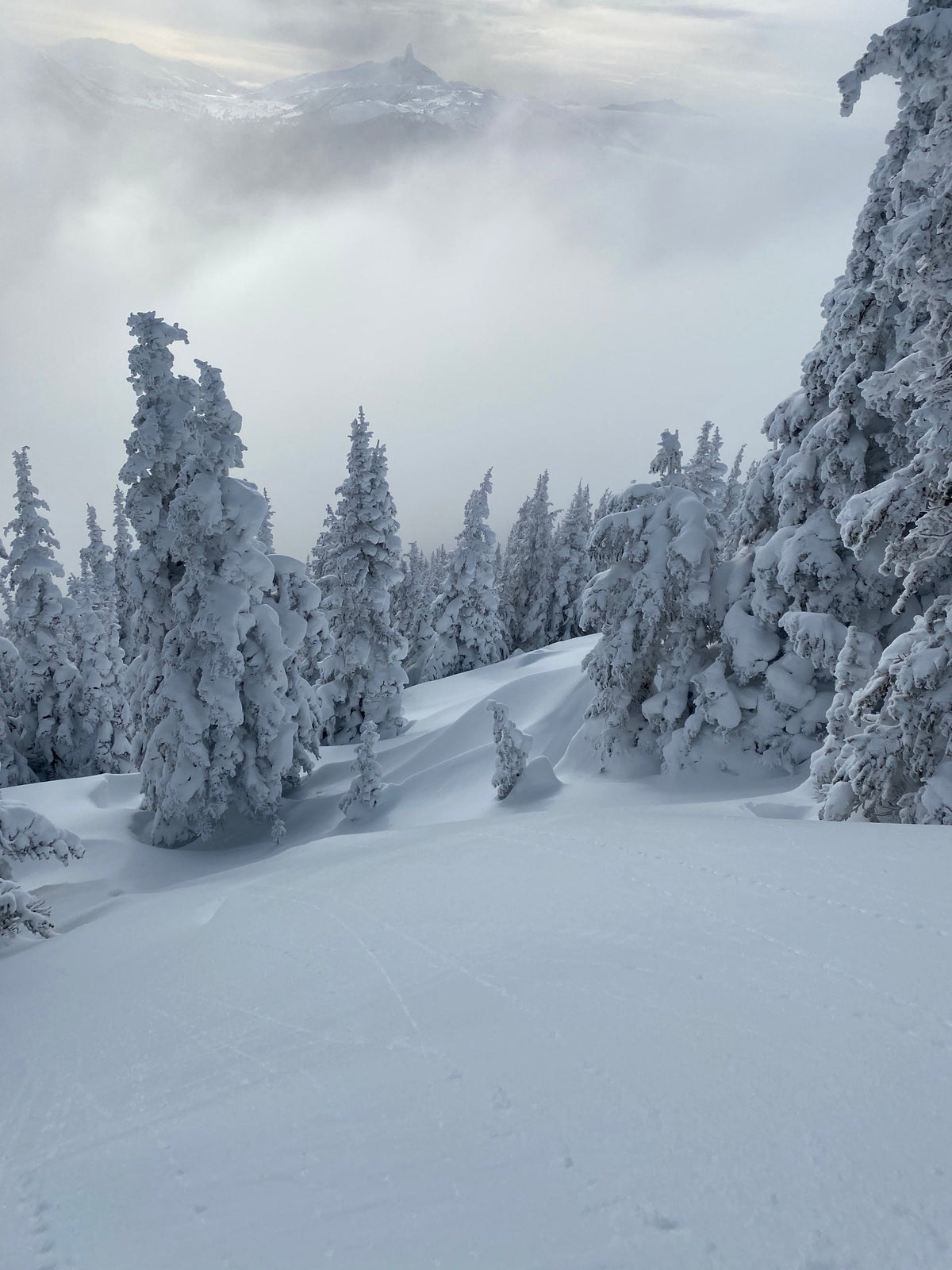
Whistler · Black Tusk in the cloud · Photo / Max Jenke
Check your mountain →From the North Shore to Hokkaido.
It started with 15 mountains, from Mt Seymour on the North Shore to Niseko and Hakuba in Japan. Now it's 28. Some are there because our dealers are there: Mt Baker, Timberline on Mt Hood, Avoriaz, Zakopane, Grandvalira and Sierra Nevada. Some are where we shoot: Saas-Fee, the Stubai Glacier and the Nordkette above Innsbruck. Some come from our team: Avoriaz for Maisie Hill, Ruka for Roope Rautiainen's Transform clip. And Hintertux is there because the glacier is open all year.
The week ahead, at a glance.
- Next 24 h · 72 h · 7 daysHow much snow is forecast at the top, in three numbers.
- The 7-day stripOne bar a day, on the same scale for every mountain, so you can compare them. A rust tick under a day means rain at the top. Tap a day for snow, rain, low and high, sky and wind.
- Storm20 cm or more in the next 72 hours.
- Rain at top2 mm or more of rain at the top in the next three days.
- Target openThe resort's announced opening day, until that day comes.
- The resort's own reportEvery card links to it, for lifts, runs and measured snow.
Up top you get the three snowiest mountains for the week. Sort by region or by snow ahead, and switch between cm and inches. Visitors in the US start on inches and °F.
Said plainly.
The forecast comes from MET Norway, the Norwegian Meteorological Institute, under a CC BY 4.0 licence. We ask for it at each mountain's top-lift elevation, so the numbers are for the top of the hill, not the base.
The snow is our estimate. MET Norway doesn't publish snowfall, so we work it out from the precipitation: all of it counts as snow at 0 °C or colder at the top, none of it at 2 °C or warmer, and a share in between. Then we count 0.7 cm of snow for every millimetre of water.
That makes every number a model forecast, not a measurement. For what actually fell and what's open, tap through to the resort.
The Whistler area, from Avalanche Canada.
The Canada group opens with Avalanche Canada's forecast for the Whistler area: three days of danger ratings for the alpine, treeline and below treeline, and the avalanche problems for each day, with where they are, how likely and how big.
This season, daily forecasts start on 25 November at 4 pm. Until then it reads Early Season. For travel advice and the forecaster's notes, read the full forecast before you go.
The Snow Report reel, 0700 HRS Pacific.
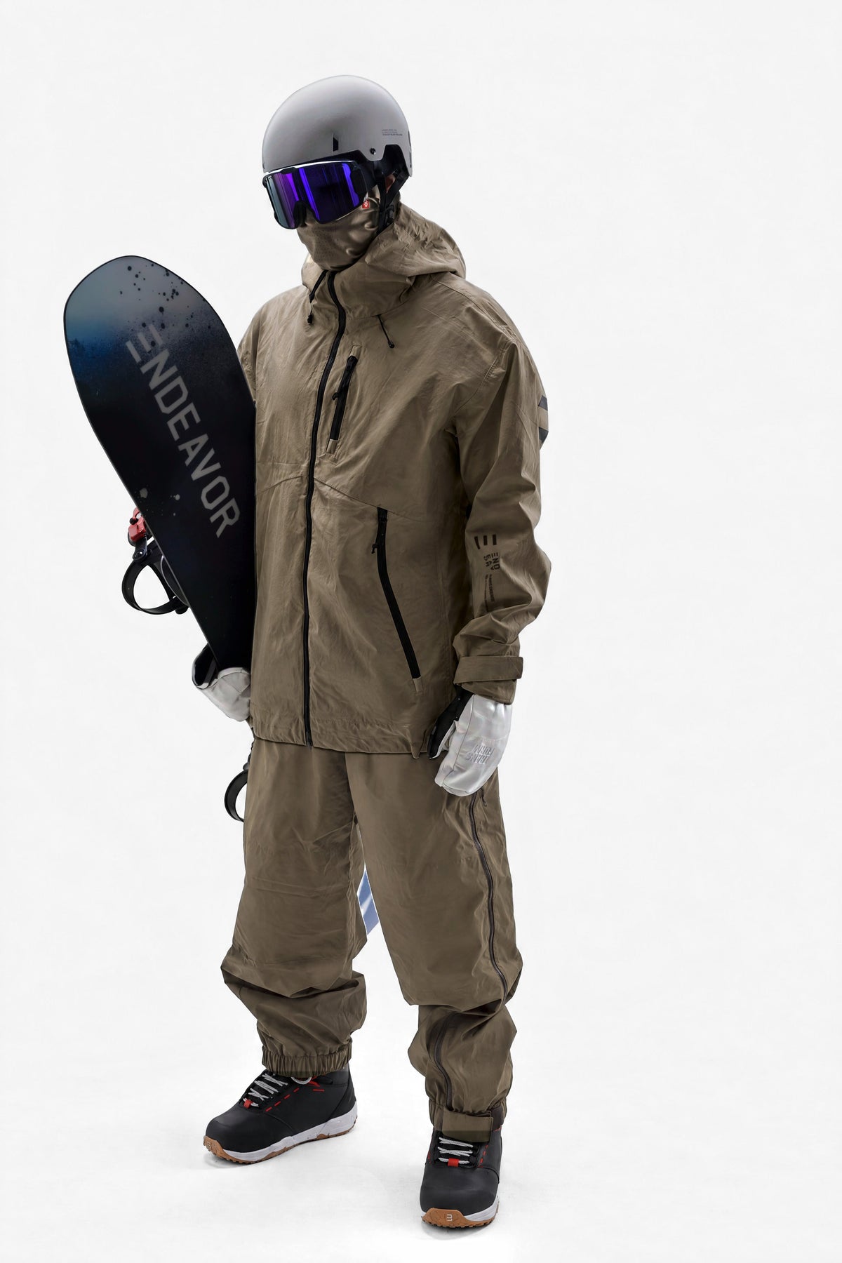
Every Thursday at 7:00 am Pacific, the Snow Report goes out as a reel on @endeavorsnow, with @airholefacemasks, @sandboxland and @transform_gloves. One slide per region with every mountain's snow for the next seven days, then our weekend pick: the mountain that's open on Saturday with the most snow by Sunday. Then the board we'd ride there:
- 25 cm or moreArchetype ProRole: Powder / all mountainFirst chair to last. One board.
- 5 to 24 cmB.O.D. ProRole: Daily driverGrip in chop. Float in pow.
- Under 5 cmPioneerRole: Park / hit lapsQuick edge to edge. Pop for big lines.
Check your mountain, then go ride it.
Snow Report →Forecast data: MET Norway, CC BY 4.0. Snow amounts are our estimate. Backcountry: Avalanche Canada.
Always Endeavor